Road notes
The Ruta 40 guide
What the road is actually like, where the fuel is, how the altitude works and what is worth stopping for, from the Bolivian border to Talampaya.
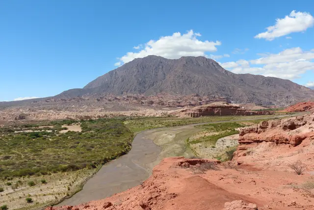
Driving Ruta 40 from Salta to Cafayate
The classic Northwest stretch of Argentina's longest road — Cuesta del Obispo, Cachi, the gravel through Molinos and Angastaco, and the descent into the vineyards.
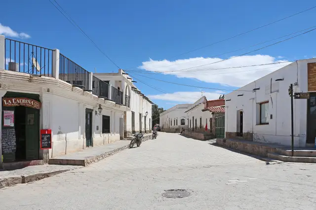
Ruta 40 road conditions and fuel
Where the pavement ends, how long the gravel sections really take, where the petrol stations are, and what to carry on the Northwest stretch.
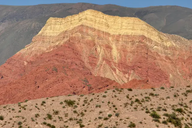
The northern end of Ruta 40
Where Argentina's longest road begins, on the Bolivian border at 3,442 m — La Quiaca, the Puna crossing to Susques and the descent to the Quebrada de Humahuaca.
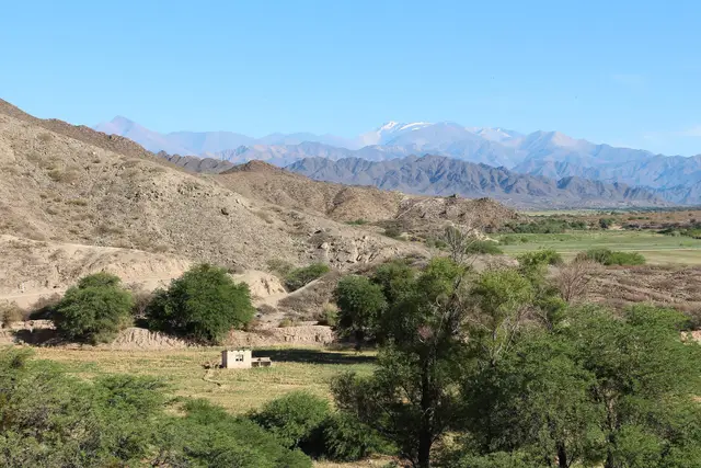
The Quebrada de las Flechas
An hour of tilted grey rock between Angastaco and San Carlos — the strangest landscape on Ruta 40 and how to drive and photograph it.
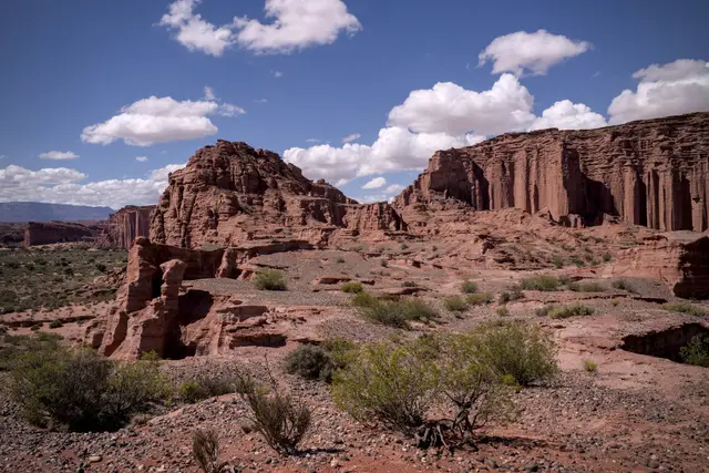
Ruta 40 south from Cafayate to Talampaya
Leaving the Calchaquí Valleys for Santa María, Belén and Chilecito — the quiet Catamarca and La Rioja stretch, and the detour to Talampaya's canyon.
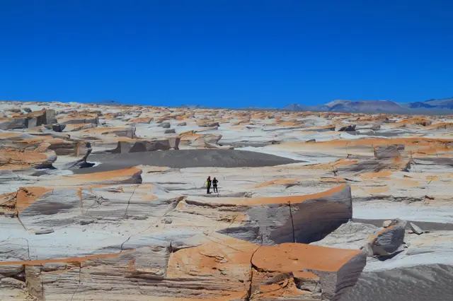
Crossing the Puna
Salt flats, volcanoes, pumice fields and salt-mining villages above 3,500 metres — what to expect from Argentina's high desert and how to travel it safely.
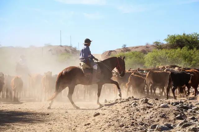
The Calchaquí Valleys loop in four days
Mountain passes, giant cacti, adobe villages and high-altitude wine on a circular route from Salta.
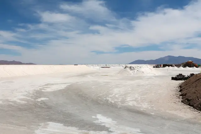
Travelling at altitude in the Andes
Practical advice for the Quebrada and the Puna, where roads cross passes above 4,000 metres.
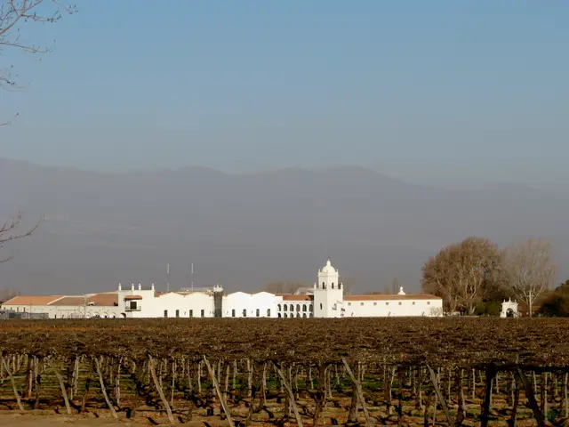
High-altitude wine in Cafayate
Torrontés, sun-struck Malbec and vineyards above 1,700 metres — how to taste your way through the Calchaquí Valleys wine route.
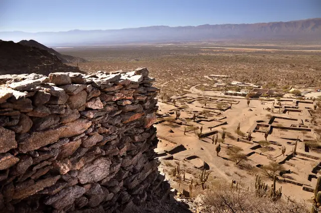
Pre-Columbian sites of the Northwest
Quilmes, the Pucará de Tilcara and the ruins along the Inca road — where to see the Andean civilisations that long preceded Spanish Argentina.