The Ruta 40 guide · Guide
Ruta 40 south from Cafayate to Talampaya
Leaving the Calchaquí Valleys for Santa María, Belén and Chilecito — the quiet Catamarca and La Rioja stretch, and the detour to Talampaya's canyon.
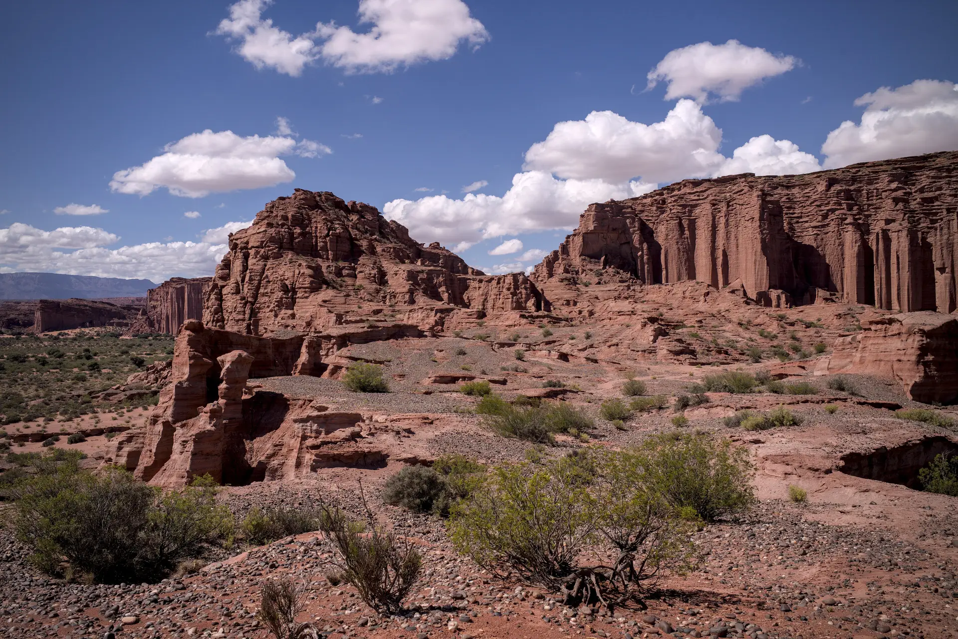
South of Cafayate the crowds thin out. Ruta 40 continues through Catamarca and into La Rioja across a landscape of dry valleys, weaving towns and vineyards that see a fraction of the traffic the Salta stretch does. It is around 600 km from Cafayate to Chilecito, and it deserves three days rather than one.
Santa María and Quilmes
Twenty minutes south of the Salta border the road enters Catamarca at Santa María, a working town with fuel, a bank and an archaeological museum worth an hour.
Just north of it, signposted off the route, are the Ruinas de Quilmes: the terraced stone remains of a settlement of several thousand people, built into a hillside and occupied until the Spanish deported its population to Buenos Aires in 1667. It is the largest pre-Columbian site in Argentina. Go early — there is no shade.
Belén
Belén is the poncho town. The vicuña and llama weaving sold here is among the finest in the country, and the workshops are open to visitors. There is a good municipal museum and the Virgin’s hilltop shrine above town for the view.
Belén is also the natural overnight stop. Fuel here; the next dependable station is a long way south.
Into La Rioja
From Belén the road runs south through Londres, one of the oldest Spanish foundations in Argentina, and on over the Cuesta de Zapata into La Rioja province. Chilecito sits in a bowl under the Famatina range, with the extraordinary early-twentieth-century cable car — the cablecarril — climbing nearly 4,000 m to the old mine. The lower stations can be visited.
The Talampaya detour
Talampaya National Park is about 150 km from Chilecito and is the reason most people come this far south. The park protects a canyon of vertical red sandstone up to 150 m high, with petroglyphs at its mouth and the Triassic fossil beds that it shares with Ischigualasto across the provincial line — together a UNESCO World Heritage site.
You cannot drive into the canyon yourself. Entry is by park-authorised vehicle or on a guided cycling trip, booked at the visitor centre at the entrance. The standard excursion takes around three hours; morning runs are cooler and the light in the canyon is better.
Practicalities
- Fuel: Santa María, Belén, Chilecito. Do not plan on anything between them.
- Heat: this stretch is lower and considerably hotter than the Calchaquí Valleys. In midsummer the middle of the day is unpleasant.
- Onward: from Chilecito, Ruta 40 continues south towards San Juan and Mendoza, leaving the Northwest behind.