The Ruta 40 guide · Guide
Ruta 40 road conditions and fuel
Where the pavement ends, how long the gravel sections really take, where the petrol stations are, and what to carry on the Northwest stretch.
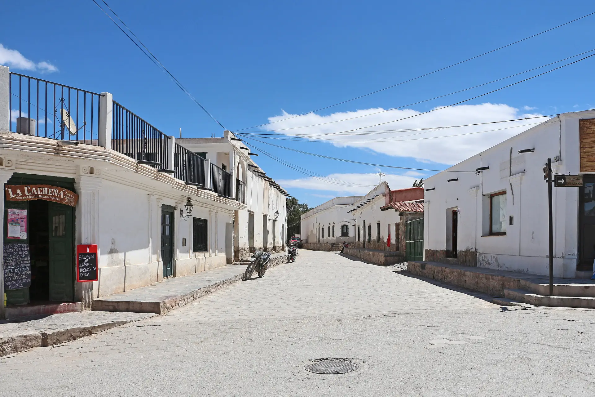
Ruta 40 is a route number, not a road standard. In the Northwest it changes character every hundred kilometres: smooth tarmac, then washboard gravel, then a pass at 4,900 m with no barrier.
Where the pavement ends
Working north to south, the sections that are still unpaved or only partly paved:
- La Quiaca to Abra Pampa. Mostly paved, with rough patches.
- Abra Pampa to San Antonio de los Cobres. Long gravel stretches across the Puna, very exposed.
- The Abra del Acay, 4,895 m, between San Antonio and La Poma. Narrow, loose, and the highest point on the whole of Ruta 40. Closed after snow.
- Cachi to San Carlos. Gravel through Seclantás, Molinos, Angastaco and the Quebrada de las Flechas.
- Belén to Chilecito via the Cuesta de Zapata. Paved but with long empty runs.
Realistic times
On gravel, plan for 40–50 km/h average, not more. That turns the 170 km from Cachi to Cafayate into roughly four and a half hours with stops, and the Abra del Acay crossing into most of a day.
Washboard surfaces tempt you to go faster because the vibration smooths out. Resist it: the tyre sidewall, not the tread, is what fails on sharp gravel.
Fuel
Petrol stations are the real constraint. Reliable ones in the Northwest stretch and its approaches:
La Quiaca · Abra Pampa · Susques · San Antonio de los Cobres · Cachi · Cafayate · Santa María · Belén · Chilecito.
Between Cachi and Cafayate and between San Antonio de los Cobres and La Poma assume there is nothing. Village pumps exist but run dry. Carry a 20-litre jerrycan if you are crossing the Acay, and treat any station you pass with less than half a tank as compulsory.
Cash is useful: card terminals in small towns depend on a signal that is often down.
What to carry
- Two spare tyres if you can, or one spare plus a plug kit and a compressor.
- Water for a day longer than you plan to be out.
- Warm layers. Nights above 3,000 m drop below freezing year-round.
- Printed or offline maps. There is no signal for hours at a time.
- Sunglasses and high-factor sunscreen — the light on the Puna is punishing.
When not to go
Summer storms between January and March wash out the gravel and flood the river crossings south of Cachi; a dry quebrada can carry a metre of water half an hour after rain that fell somewhere you cannot see. Snow closes the Acay in winter without warning. Ask locally — in Cachi, Molinos or San Antonio — before committing to a section, and take the answer seriously.